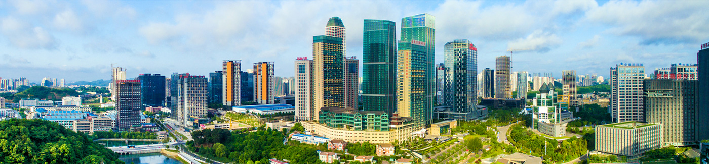
Guiyang makes progress in aerospace photogrammetry program
The Guiyang bureau of natural resources and planning conducted a field inspection on progress being made in the Guiyang aerospace photogrammetry program on Nov 5, being carried out in the county level city of Renhuai in Southwest China's Guizhou province.
Photogrammetry is the technique of extracting 3D information from photographs. The process involves taking overlapping photographs of an object, structure, or space and converting them into 2D or 3D digital models. It is often used by surveyors, architects, engineers and contractors to create topographic maps, point clouds, or drawings based on the real-world.
Located at Maotai Airport in Renhuai city, the photogrammetry program was designed to advance Guiyang's development as a smart city -- expanding its geographical information database and helping it to provide optimal management of natural resources, surveying and mapping and spatial planning.
The program will complete the digital photogrammetry for 8,528 square kilometers covering Guiyang's downtown area, the Guizhou Shuanglong Airport Economic Zone and the core area of Guian New Area.
It will employ laser radar point cloud data of Guiyang's six districts and its surrounding areas, which extends for 3,005 square kilometers.
The point cloud data was collected and evaluation and analysis is expected be completed this month. The aerial survey for photogrammetry is 44 percent completed and will be finished in the near future.
At the on-site inspection, bureau officials held talks with Feiyan Aerial Remote Sensing and Technology Co Ltd, which is in charge of the program.
They also had a close look at the production equipment and specified their requirements for the process, quality and application of the program.
Links
Guiyang China
© The Guiyang Municipal People's Government. All Rights Reserved.
Presented by China Daily.
黔ICP备05001922号-3
Presented by China Daily.
黔ICP备05001922号-3