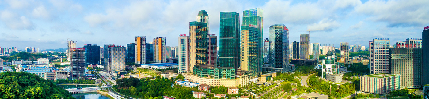
Guiyang updates digital aerial mapping
To complete Guiyang's basic geographic data, Guiyang bureau of natural resources and planning recently completed the high-resolution digital aerophoto of 8,528 square kilometers of Guiyang and Guian New Area.
The digital data is currently being checked to ensure it is high quality, and a 1:2000 digital orthophoto map will be generated.
Digital orthophoto maps have high resolution and abundant information, which can be used in map analysis or provide natural resource and economic data for environmental investigation, public facility construction planning and disaster prevention.
It can also be used for interpretation, measurement and map production and upgrading.
In addition to collecting orthophoto data, Guiyang also used laser scanning technology for the first time to generate the most accurate digital surface model and digital elevation model. Both of these can be references for city planning, engineering construction, mine management, agricultural industry adjustment, environmental protection, water resource management and disaster prevention.
The laser scanning data will be completed in late December, and the production of the digital orthophoto map will finish in February of next year. When completed, the data will be shared with government departments at all levels and play an important part in Guiyang's economic development.
Links
Guiyang China
© The Guiyang Municipal People's Government. All Rights Reserved.
Presented by China Daily.
黔ICP备05001922号-3
Presented by China Daily.
黔ICP备05001922号-3