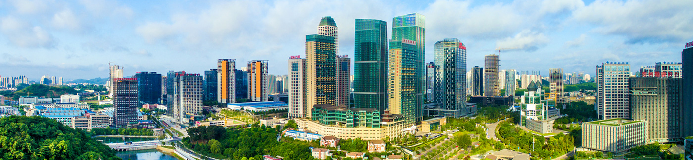
Guiyang 3D land lifecycle management project recognized for innovation
The "3D Real-Scene-Based Land Lifecycle Management Demonstration Application" developed by the Guiyang bureau of natural resources and planning and the Guiyang Surveying and Mapping Institute has been selected as an exemplary innovative application in Guizhou's 3D real-scene technology initiatives.
Overview
The project utilizes the national pilot program for new foundational mapping in Guiyang. It integrates 3D visualization, spatial analysis, and entity information with natural resources and land management workflows. Incorporating 3D technology enables efficient land-use planning, covering all key stages from pre-approval to real estate registration. This system enhances approval precision and simplifies application processes for users.
Innovations
Building a geographic information digital foundation
The project combines oblique photography, LiDAR point clouds, digital elevation models (DEM), digital surface models (DSM), and orthophoto imagery. This data is merged with multi-temporal satellite images of Guiyang to create a comprehensive mapping infrastructure. Additionally, it links land management data, including planning, socio-economic statistics, real estate registration, and project approvals, forming an integrated 3D geographic information database.
Establishing 3D spatial data analysis models
The project uses 3D spatial-temporal data to enable advanced geospatial analysis, such as excavation-fill assessments, visibility analysis, solar exposure studies, height restrictions, and line-of-sight evaluations. It also provides real-time land-use data queries, supporting decisions on site selection, land acquisition, and urban planning.
Creating a model for land lifecycle management
The system visualizes natural resource maps, land-use planning, and architectural layouts using 3D real-scene technology. It also allows interactive compliance checks, conflict detection, statistical analysis, and spatial overlays, which support regulatory reviews, vacant land assessments, and illegal land-use detection. The system additionally integrates planning conditions and displays key metrics like building area, green space, and floor area ratio, forming a comprehensive land lifecycle management model.
Application benefits
Intelligent site selection with 3D technology
Real-scene 3D mapping enhances site selection by analyzing multi-temporal imagery and land-use compositions. Compliance analysis ensures that proposed sites do not encroach on protected zones or exceed urban development boundaries.
Smart planning approval
By integrating 3D planning models, users can visualize building placement and utilize real-time evaluation tools for factors like spacing, sunlight exposure, and skyline impact, streamlining the approval process.
Enhanced project management
Real-time 3D updates during construction allow stakeholders to assess project progress using point cloud data, oblique photography, and high-detail models. The system enables 360-degree visualization for compliance verification and regulatory oversight.
Advanced industry development
The project establishes a 3D spatial database supporting urban governance and resource management. Continuous integration of real-world data strengthens industry transformation, enabling precision management and digital innovation in natural resource oversight.
Links
Guiyang China
© The Guiyang Municipal People's Government. All Rights Reserved.
Presented by China Daily.
黔ICP备05001922号-3
Presented by China Daily.
黔ICP备05001922号-3