State Council approves Guiyang Territorial Spatial Master Plan
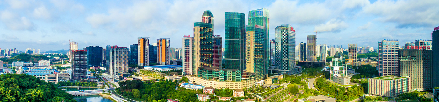
The State Council has recently approved the Guiyang Territorial Spatial Master Plan (2021–2035). Guiyang, capital of Guizhou province, is a key city in Southwest China and a national comprehensive transportation hub.
The highlights of the plan are as follows:
Strengthening spatial foundation for safe development
By 2035, Guiyang must retain no less than 2.76 million mu (184,000 hectares) of arable land, including at least 1.81 million mu of permanently protected farmland. The ecological conservation red line area must be no less than 973.75 square kilometers, while urban development boundaries should be controlled within 880 sq km. The construction land per unit of GDP must decrease by no less than 40 percent, and water consumption must remain within the limits set by higher authorities, not exceeding 1.33 billion cubic meters in 2025.
Key natural disaster risk areas will be identified, and risk control lines for floods, earthquakes, and other hazards will be established. Green space systems, waterbody protection lines, cultural heritage protection boundaries, and infrastructure development control lines will be designated to ensure safety in strategic resource areas.
Building a territorial spatial system to support new development
Guiyang will integrate further into the Belt and Road Initiative, coordinate with the Western Development Strategy, and strengthen its role within the New International Land-Sea Trade Corridor.
The city will enhance connectivity with the Guangdong-Hong Kong-Macao Greater Bay Area and the Chengdu-Chongqing Twin City Economic Circle. Regional cooperation in developing and protecting land resources within the Guiyang metropolitan area will be promoted, fostering a functional, complementary, and high-quality spatial development pattern.
Links
Guiyang China
© The Guiyang Municipal People's Government. All Rights Reserved.
Presented by China Daily.
黔ICP备05001922号-3
Presented by China Daily.
黔ICP备05001922号-3